 vesseltracker.com
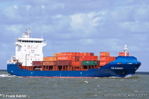
Vessel NINA A IMO: 9440605, MMSI: 636021296 Container Ship
UTC, 40.73640, 29.88569, course: 114, speed: 0.1
UTC, 40.73579, 29.88542, course: 87, speed: 0
2026-02-12 01:16:40 UTC, 40.73580, 29.88531, course: -1, speed: 0
Live AIS position:
UTC. Near AUTOPORT),
updated 2026-02-12 01:16:40 UTC.
Find the position of the vessel NINA A on the map. The latter are known coordinates and path.
marine traffic ship tracker show on live map
The current position of vessel NINA A is 40.73580 lat / 29.88531 lng. Updated: 2026-02-12 01:16:40 UTCCurrently sailing under the flag of Liberia
NINA A built in 2008 year
Deadweight:
8137 tDetails:
Last coordinates of the vessel:
UTC, 40.73676, 29.88607, course: 131, speed: 0UTC, 40.73640, 29.88569, course: 114, speed: 0.1
UTC, 40.73579, 29.88542, course: 87, speed: 0
2026-02-12 01:16:40 UTC, 40.73580, 29.88531, course: -1, speed: 0